
A unified operational picture for resilient public infrastructure.
Moveguide Integrate connects disparate agency data into an actionable spatial network—powering proactive planning, emergency response, and resource allocation.
Core Offerings
Urban & Rural Climate Adaptation
Model land use, demographic shifts, and environmental exposure within a unified spatial canvas.
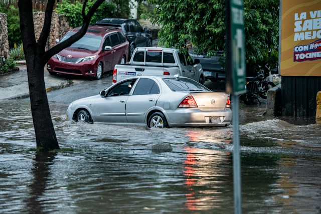
Emergency Preparedness & Risk Assessment
Stress-test critical infrastructure and communities against climate disruption and welfare vulnerabilities.
Capital Investment Allocation Engine
Analyze spatial needs to route municipal, regional, and national funding with exact precision.
Strategic Benefits
Proactive Crisis Mitigation
Identify physical and social vulnerabilities before they escalate into high-cost civic emergencies.
Optimized Capital Deployment
Eliminate guesswork in public spending by grounding infrastructure allocations in dynamic, spatial proof.
Inter-Agency Operational Alignment
Unify planning, transit, and emergency departments around a single live ground truth.